GIS for Water Utilities
Reliable water services come from having one go-to repository of data. GIS is no longer your single-function tool for locating pipes and facilities. It’s now a whole platform for understanding and optimizing water operations. Integrate information from sensors, meters, crews, pipes, and more, through the common language of location. Store this data in your GIS. Share interactive maps in the boardroom; push functional maps to field devices. When your data flows, so does your water.
Solutions
By making your water systems smarter, you can understand buried assets better, optimize performance, and extend the life-span of your assets. Become proactive instead of staying reactive. Location-based applications and dashboards help strategies flow faster. Respond quickly to main breaks and leaks. Share construction, maintenance, and advisories with the public. Enable customers to submit work orders from mobile devices, and empower field crews to maintain assets from mobile, too. Generate compliance reports easily and automate quality control.
|
|
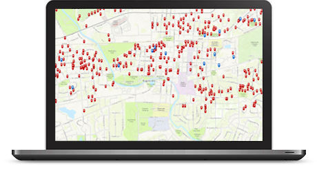
ArcGIS for Water Utilities Enhance operations through the proven power of location. ArcGIS for Water Utilities helps you maintain and edit asset data faster—and with less error and redundancy. Improve new infrastructure plans by visualizing dense information in easily interpretable map layers. Maximize field efficiency with preconfigured, no-code apps on your crews' mobile devices. |
| ArcGIS for Desktop Maps show more than location. Discover trends in breaking infrastructure to target capital improvement projects for a sustainable network that costs less now. Comply more easily with regulations through automated reporting. Use proven review tools to ensure data integrity. Provide crews with simple workflows to optimize operations and create self-sufficient employees. |
|
 |
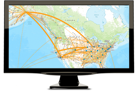
GeoEvent for ArcGIS Your next main break could happen today. What if your phone could alert you? Utilities are already taking advantage of event awareness with GeoEvent for ArcGIS. GeoEvent interprets data feeds in real time, such as from AMI and AMR. So you can detect, isolate, and deploy crews to fix situations as soon as they transpire. |


You know how to manage a renewable resource. Now make your data structure as sustainable as the wastewater you treat. Identify hot spots that are prone to clogging and improve maintenance schedule projections. Empower field crews with mobile devices to edit data in real time. Optimize reclamation by controlling data quality and reducing errors. Study geographic patterns in leaks and groundwater infiltration. Share results internally through executive dashboards and apps. Your whole network becomes more fluid on GIS.
|
|
ArcGIS for Water Utilities Build your geodatabase so you can access what you need to know, when you need to know it. Manage your network of pipes, facilities, manholes, hydrants, and even field crews in one database. Query that database to transform data into actionable information on a map. Share maps internally or with customers. |
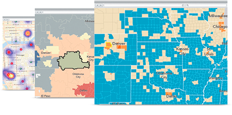
| ArcGIS for Desktop Make the most of your capital improvements projects with maps that visualize trends in your infrastructure. Which pipes are breaking more often? Where are sinkholes forming? Which manholes need inspection? Use built-in data checks to ensure integrity, and provide crews with the simple handheld tools they need to collect, edit, and update data from the field. |
|
 |
ArcGIS Online ArcGIS Online equips your whole organization with mapping power. Customize internal apps to monitor your wastewater network. Put no-code apps in the field for hydrant inspection, manhole inspection, field note capture, and more. Generate maps for the boardroom or compliance reports. Control who accesses what. |