Harvest greater profits
To maximize profits and optimize your yield, you need to dedicate the right crops and equipment to the places where they can flourish. With Esri, you can integrate high-resolution imagery, field observations, and real-time data feeds to understand how to make the most of your limited resources at any time. Take the guesswork out of your production and manage your land more efficiently with GIS.
Solutions
Your fields aren’t the same, so why treat them like they are? With Esri technology, you can monitor the health of individual crops in your fields and adapt to differences in soil types, sunlight, and slope. Use your findings to accurately estimate variable yields across any field and maximize crop production.
|
|
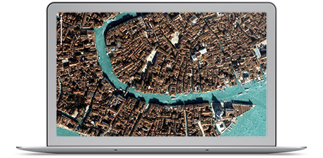
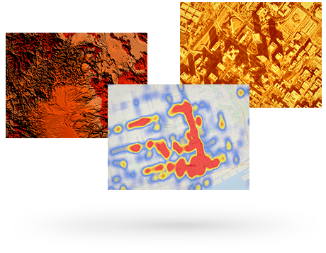
ArcGIS Image Extension for Server Keep an eye on your fields at all times by incorporating high-resolution satellite imagery that reveals changes and seasonal variations in your field. Easily publish and consume imagery that can be shared throughout your organization to power more intelligent crop forecasting and land suitability analyses. |
| ArcGIS Online Give everyone in your organization the power to quickly visualize and share their data in the cloud. Create interactive maps for each of your fields and crops and incorporate authoritative content from Esri’s Living Atlas of the World. |
|
|
|
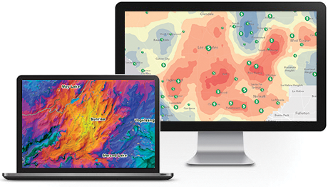
ArcGIS Spatial Analyst Construct detailed models of the conditions in your fields to identify the optimal locations for individual crops. Identify patterns in your data that impact growing conditions and maximize the yields of each field through scientific spatial analysis. |
Droughts, unpredictable weather, and pests can wreck your harvest. But they don't have to. Esri can help you protect your crop by analyzing and predicting threats before you lose everything. Plan sustainable measures that reduce water consumption and bounce back faster from disasters. With Esri technology, you can adapt to a changing climate and promote the continued health of your fields.
|
|
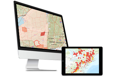
ArcGIS for Desktop Visualize your data and perform spatial analysis that can help you better understand risks to operations. Model what-if scenarios to better understand the potential impacts of threats from both pests and the climate. Create authoritative maps and map books that detail mitigation plans. |
| ArcGIS GeoEvent for Server Pull in real-time data from your sensors to identify threats to your crops as they emerge. Create filters and process incoming streams of data so that you can focus on high-priority incidents that will have the greatest impact on your operations. |
|
|
|
ArcGIS Online Give everyone in your organization the power to quickly visualize and share their data in the cloud. Create interactive maps for each of your fields and crops and incorporate authoritative content from Esri’s Living Atlas of the World. |
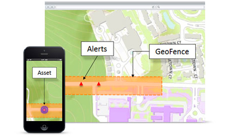
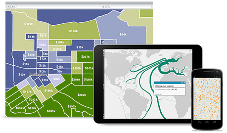
Boost your seasonal production and your profitability by intelligently assigning your resources. With intelligent maps and spatial analysis, you can optimize your operations and logistics to cut your fertilizer, fuel, seed, labor, and transportation costs. Avoid costly maintenance repairs by tracking and managing your assets to keep your farm operating at peak efficiency.
|
|
ArcGIS GeoEvent for Server Pull in real-time data from your sensors to identify threats to your crops as they emerge. Create filters and process incoming streams of data so that you can focus on high-priority incidents that will have the greatest impact on your operations. |
| ArcGIS Online Give everyone in your organization the power to quickly visualize and share their data in the cloud. Create interactive maps for each of your fields and crops and incorporate authoritative content from Esri’s Living Atlas of the World. |
|
|
|
Collector for ArcGIS Use your smartphone to record information in the field about all aspects of your operations, from your crops to your equipment. Continue working, even when you’re outside cell service range, through disconnected editing tools. Access maps and other data you’ve published to ensure you have the right information. |